Seyssel / Chanaz / Belley
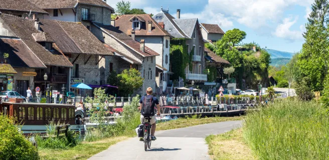
This ViaRhôna stage goes along both banks of the Rhône. This route is provisional. It leads between crests and plateaux, through landscapes marked by lakes and waterfalls. Then you come to a land of vineyards and gastronomy set below the Bugey Range, passing delightful little historic stops like Belley, Culoz and Chanaz. This physically-demanding stage is along a mix of greenways and roads.