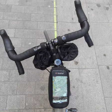
The GPS tracks
Download the GPS tracks
Download the ViaRhôna GPS tracks
With a GPS device or a smartphone (using a dedicated app), you can download the cycling route tracks for ViaRhôna directly from this website.
Download stage-by-stage tracks
Please note: to use the tracks, you must have a smartphone with a dedicated application or a compatible hiking GPS.
Go to the stage information pages and click on the “Download GPS track” button located below the interactive map.
Download the full route track
The full ViaRhôna route from Lake Geneva to the Mediterranean
Updates will be made regularly to reflect changes and improvements along the route.
Which app should I use?
The applications listed below are specialized in outdoor navigation and offer offline maps.
They allow you to display a route previously downloaded from our website.page.
- GeoVelo - Android / Apple
- Outdooractive - Android / Apple
- Komoot - Android / Apple
- Loopi - Android / Apple
- Osmand - Android / Apple
- Locus Map - Android
- Orux Map - Android
- Iphigénie - Android / Apple
- Visorando - Android / Apple
- Sitytrail - Android / Apple
- Maps.Me - Android / Apple
- TwoNav - Android / Apple
Download the all GPS cycle track
- The route files are in .GPX format, which is the standard format recognized by all modern devices and software.
- Outdoor GPS devices for hiking and cycling are the most suitable for navigation. Car GPS devices are not appropriate, as they use unsuitable maps and do not support route calculation.
