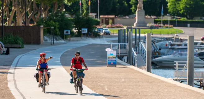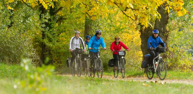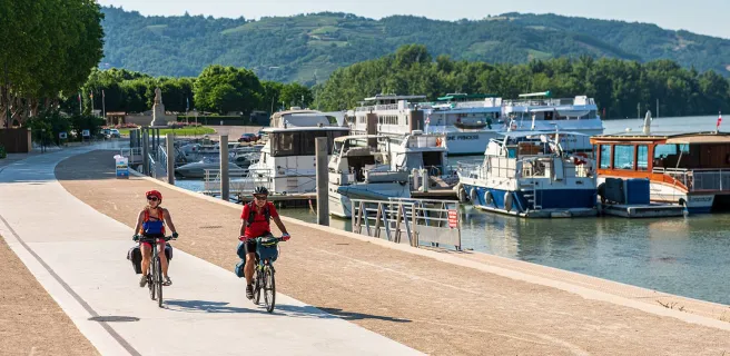
Saint-Romain-en-Gal / Vienne / Sablons
This remarkable ViaRhôna stage offers a great variety of landscapes. From Vienne, once an ancient capital of Roman Gaul, to the nature reserve of L’île au Beurre, bearing witness to the Rhône’s wild side, via steeply terraced vineyards, including the prestigious Côte-Rôtie, and the first major orchards along the Rhône Valley, this stage will delight those interested in history, nature and gastronomy. You follow greenways for almost the entire length, joining a road to enter Sablons.